How to Hike Hells Hole Colorado: Trail Map, Difficulty Level & Tips
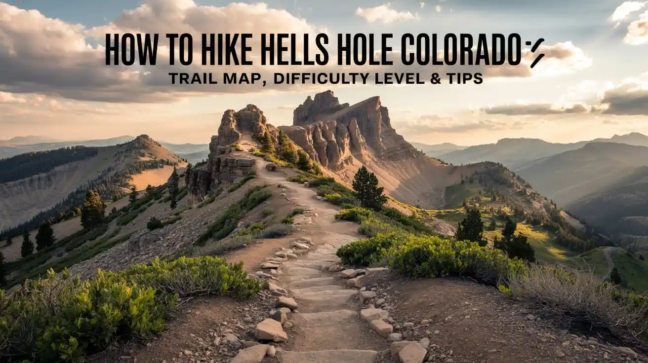
Hells Hole Colorado is a challenging yet rewarding hiking trail for those who don’t mind rocky terrain paths. Located in the heart of the Arapaho National Forest, welcoming both adventurous and beginner-level hikers.
This is not only just another Colorado hike but it’s a memorable journey through breathtaking alpine views, dense pine forest atmosphere and clump of trees. But before you go for exploring this hiking trail, knowing the route, trail map, directions, difficulty level and tips is essential.
Read on to find out before you dare to attempt it!
Hells Hole Colorado Hiking Trail Overview
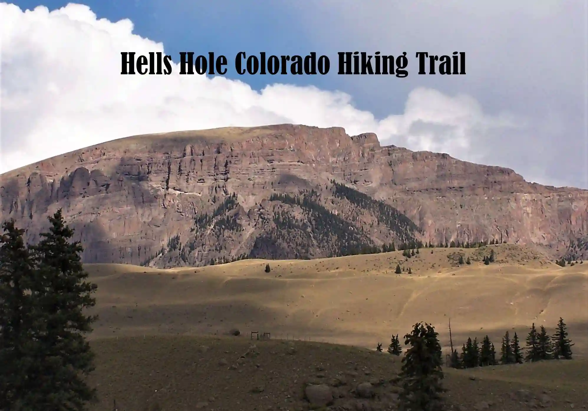
Hells Hole Cave or Trail is located in Arapaho National Forest, near Idaho Springs, Colorado. This trail is a part of Mount Evans Wilderness, famous for rugged landscapes, natural forests and alpine beauty. It is only accessible from West Chicago Creek Campground, making it an accessible hiking destination.
Distance & Elevation Gain
| Total Distance | 8.8 miles round-trip (out-and-back) |
| Elevation Gain | 2,450 feet |
| Starting Elevation | Approximately 9,600 feet |
| Ending Elevation | Approximately 12,000 feet |
This is a moderate to challenging hike that takes you through lush meadows, dense forest and rocky paths. The surrounding space is filled with towering peaks. The estimated time to complete this hike is:
Time to Complete Hike (Estimated)
| Average Hiker | 4.5 to 6 hours (round-trip) |
| Fast-Paced Hiker | 3.5 to 4 hours |
| Beginner or Slow-Paced Hiker | Beginner or Slow-Paced Hiker |
Because of the hike’s length and elevation gain, trail is moderately difficult so it’s best to stay hydrated and wear sturdy hiking shoes.
Trail Type (Out-and-Back)
Out-and-back routes means you will hike the same path two times. The ascent is with steady pace but manageable while the return way is quite easy to complete.
However, some parts of trail may be uneven or rocky so do not forget to pick a grip on your foot especially in wet weather conditions.
Hells Hole Colorado Map
Hells Hole Colorado History
Hells Hole is a beautiful hiking trail in the Mount Evans Wilderness near Idaho Springs. This trail got its name because of uninviting yet beautiful landscape for tourists.
The Hells Hole history started from mid-19th century as this time was the significant turning point with the onset of the Colorado Golden Rush.
The gold discovery in the region brought many prospects and miners who founded mining camps worked effortlessly to extract gold from the surface of earth. This is a 9-mile round trip hiking adventure will get you through glacial valley, alpine willows, and bristlecone pines.
Hells Hole Colorado Directions
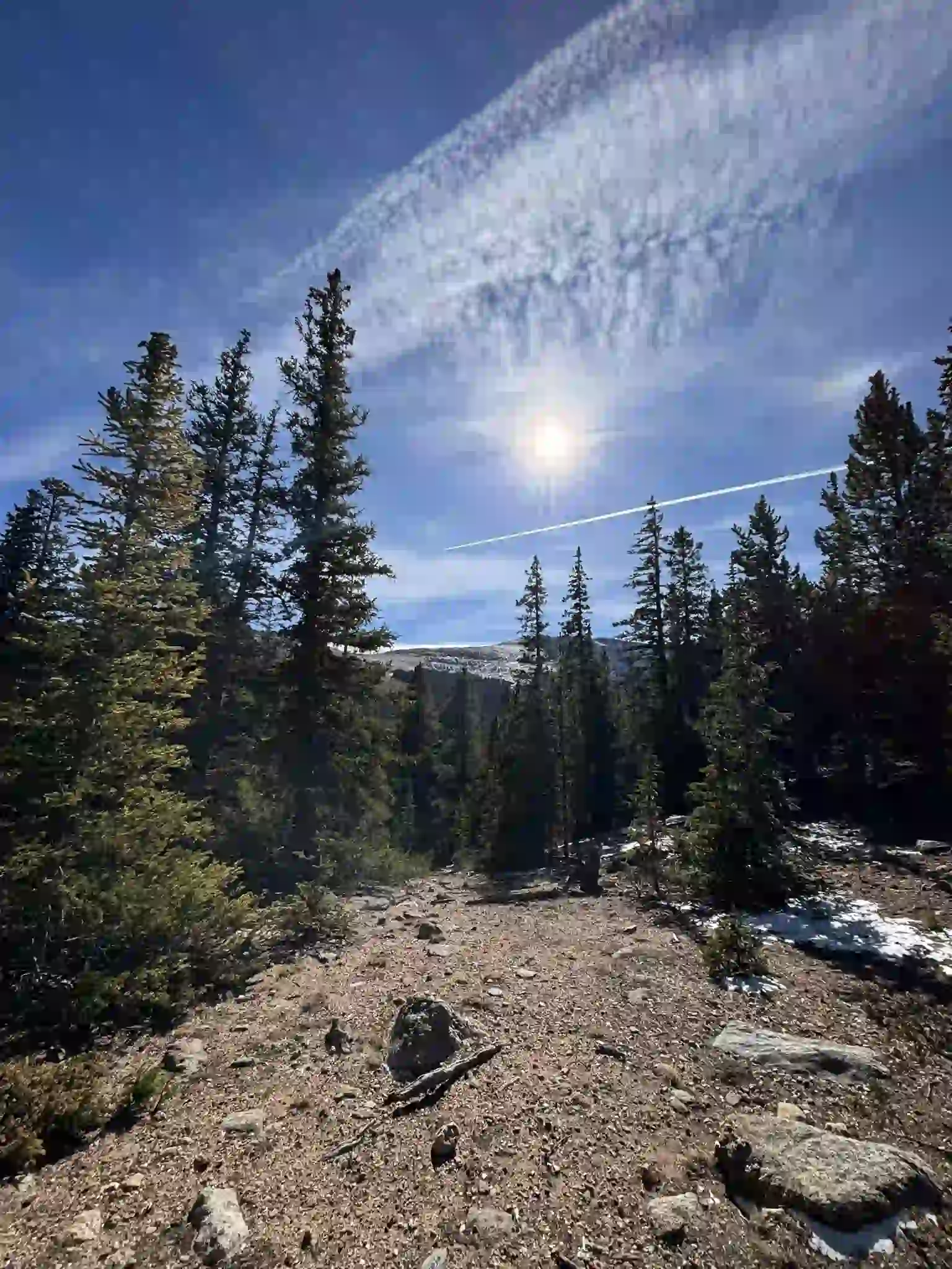
How to Get to Trailhead?
The trail starting point starts at West Chicago Creek Trailhead which is located within the Arapaho National Forest near Idaho Springs, Colorado.
Let’s take a look at driving directions.
- Start your journey from Denver by taking I-70 West for nearly 33 miles to Idaho Springs.
- Then turn left onto Colorado Highway 103 and continued till you reach at 6.7 miles.
- Afterwards, turn right onto West Chicago Creek Road and follow way for 3 miles until you reach the campground of West Chicago Creek.
- You will find parking lot just before campground on the left side. Near campground, you can go for Hells hole Colorado camping also.
Pro Tip
- On Forest Road 188, the last few miles are uneven with heavy dirt so try to use passable vehicle. But during snowy & muddy conditions, high-clearance vehicle is needed.
Parking Information
At the West Chicago Creek Trailhead, parking is limited because of not having too much space. If you want to secure a spot, it is recommended to arrive early especially during weekends and peak season.
In case if you find the parking lot is full, you may need to park your vehicle along the dirt roads that leads to trailhead. Parking is completely free so if you get space, there’s no need to pay any parking fee.
Recommended Trail Map & Navigation Apps
No doubt whole trail is well-defined but there are no signs in some areas. With the help of navigation app or trail map, you can stay on track easily. Here are some best trail maps.
AllTrails: Come with features of GPS tracking, elevation details, and offline maps.
Gaia GPS: Best for offline use and detailed topographic maps.
COTREX: This is a state-supported app with secure & reliable trail data.
Pro Tip
- Must download offline maps before you start your hiking journey because cell services are limited in some areas.
Hells Hole Colorado Difficulty Level & What to Expect?
Difficulty Level: Is Hells Hole Trail Challenging?
Hells Hole Trail is considered as moderate to challenging hiking route. This is because of its high elevation gain, high altitude and uneven path. The first portion of trail is relatively comfortable to complete but the second half is a bit dangerous and demands challenge hiking.
Who can Hike this Trail?
- Mid-level to experienced level hikers who don’t have any issues with elevation gain.
- Recommended for those beginners who come up with good endurance and good preparation.
- Not recommended for hikers who have issues with high elevation gains.
What to Expect on the Trail?
- Forest Section (First 2 Miles)
The hike normally starts with a little bit incline through dense aspen and pine forests. Path is well-defined but becomes rocky or muddy especially during winter. in late summer, there is low water levels with occasional creek crossings.
- Steeper Ascent & Rocky Terrain (Miles 2-4)
The far you go, elevation gain becomes more difficult and trail gets challenging. Trees are fewer so to stay away from heat issues, bring sunscreen. There is a need of careful footing and steps because few sections are uneven or rocky.
- The Final Way to Hiking Path (Last Mile)
When you get closer to path, the forest features beautiful alpine meadow. After some time, you will reach Hells Hole Idaho which is surrounded by rugged cliffs. Because of highest elevation gain, you can expect strong winds and cooler temperatures.
Best Seasons to Hike
Spring (April to June): Be prepared for snowy and muddy conditions but still you can hike with utmost protection.
Summer (July to September): One of the best times to hike because the weather is favorable and ideal for hiking.
Fall (October to November): During this season, you can expect beautiful golden aspens at lower elevations with cold temperatures and minor snowfall.
Winter (December to Match): Not ideal for hiking because trail is covered in snow. Snowshoes or micro spikes are needed, and navigation can be tricky.
Wildlife & Scenic Highlights
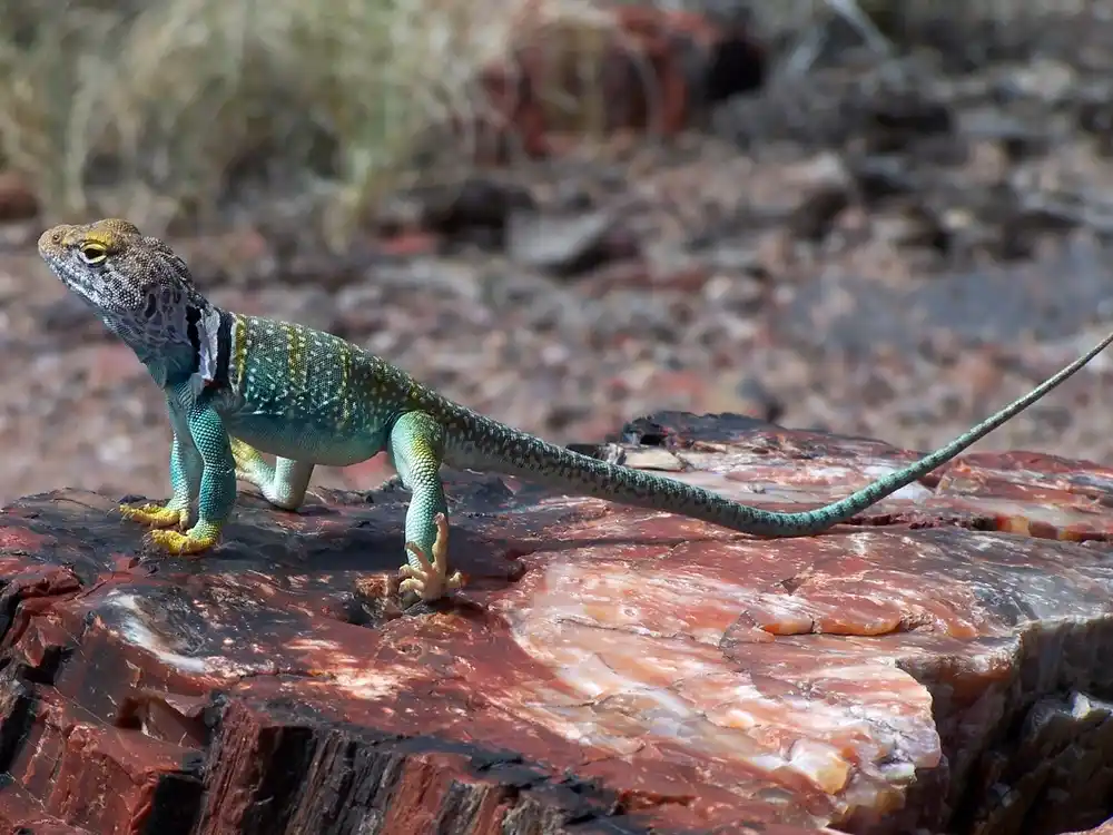
Wildlife you Might See
- Elk, deer, and mountain goats.
- Pikas and marmots near the glacial cirque
- Black bears and moose but you need to stay alert from them.
Scenic Highlights
- Gray Wolf Mountain
- Canopy of trees like aspen trees and bristlecone trees
- Deep spruce forests
- Rocks formations & meadows
Essential Hiking Tips for First Timers
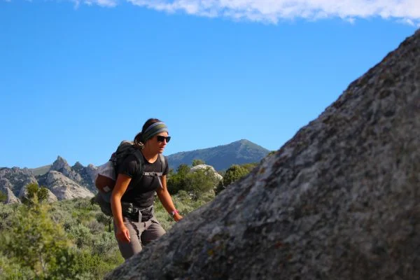
No matter whether you are beginner or advanced level hiker, following are some tips to keep in mind before go on hiking.
- Pack properly like all essentials you need during hiking like water, high-energy snacks, moisture-wicking layers and sturdy shoes.
- Be prepare yourself for altitude and avoid yourself from altitude sickness issues. Stay hydrated and do proper rest when your body wants rest.
- Must check the weather because weather frequently changes at higher elevations. Start your hiking in early day time to avoid afternoon storms.
- Pack out all trash and respect the cleanliness and surrounding environment. Stay on designated trails.
- Late spring to early fall is the ideal time for hiking, consider this time period and avoid hiking in winter.
Concluding Remarks!
The Hells Hole Colorado hiking trail is a rewarding trail for hiking enthusiasts. Not only this trail welcome hikers with challenging views but also the surrounding activities are worth-loving. The moderate to challenging path is best suitable for mid-level hikers.
Before go on a Hells hole Colorado hike In Colorado, follow this blog’s essential guidelines, tips and tricks for a memorable experience. Consider the best time to do hiking and know about what to expect in different seasons. Hopefully you liked this informative blog post.
Frequently Asked Questions
1. How long does it take to hike Hells Hole?
To complete hiking at Hells Hole, there is a need of 4.5 to 6 hours, based on pace, weather and hiking conditions.
2. What is the best time to hike Hells Hole Trail?
Between late spring to early fall, you can enjoy hiking at Hells Hole Trail. The months are between May to September.
3. Is there any wildlife on the Hells Hole Trail?
Yes, you may spot wildlife like elk, deer, mountain goats, marmots, and occasionally black beers.
4. How difficult is the altitude on Hells Hole Trail?
The trail reaches elevations of up to 12,000 feet, which can cause altitude sickness if you are not professional one. So be prepared for this.
5. Is there parking available at the trailhead?
Parking is available but with limited space at the West Chicago Creek Trailhead. It is advised to arrive early to secure your place.
6. Are there any other hikes near Hells Hole?
Chicago Lakes Trail
Mount Evans Summit
Sawtooth Mountain Trail


